
City
Jinjiang
China
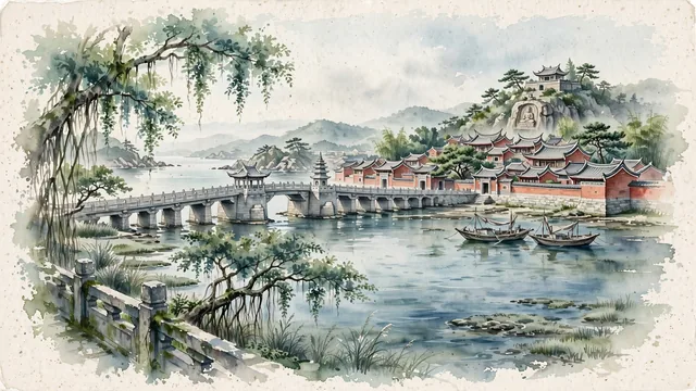
What guided this image
- Landmarks
- Southern Song Dynasty Anping Bridge; Wudian City Traditional Blocks; Yuan Dynasty Cao'an Temple; Anhai; Minnan; lush coastal southern Fujian flora; Song
- Viewpoint
- Favor the classic viewpoint looking along the ancient granite spans of Anping Bridge toward the Shuixin Pavilion and stone pagoda, or looking across a stone courtyard in Wudian City toward the dramatic swallowtail roofs, showing banyan branches and stone pavers in the foreground, the long stone bridge or red-brick mansions in the middle-ground, and the calm estuary horizon fading in the background.
- Palette
- Green should be the predominant color, especially in the thick canopies of ancient banyans around Wudian City, coastal sea pines, and estuary wetland vegetation.
- Guarded against
- Not Quanzhou proper, Xiamen, or Zhangzhou
Population1,416,151Wikidata: 2,111,000
Coordinates24.82°N, 118.57°E
Area744 km²
Time zoneAsia/ShanghaiUTC+8
Solar noon12:06clock runs 0.1 h ahead of the sun
Through the Earth
Dig straight through the Earth from Jinjiang and you surface nearest to Laguna Yema, Argentina — 65 km from the exact antipodal point.
Nearest cities in the atlas
| Quanzhou | CN | 10 km |
| Xiamen | CN | 62 km |
| Putian | CN | 82 km |
| Fuzhou | CN | 157 km |
| Longyan | CN | 159 km |
| Taichung | TW | 226 km |
| Chaozhou | CN | 237 km |
| Shantou | CN | 252 km |
Twinned cities
Wikidata records no twinned cities for Jinjiang inside this atlas.