
City
Kakamega
Kenya
What guided this image
- Landmarks
- Crying Stone of Ilesi; Kakamega Forest National Reserve; Isiukhu River; Luhya; Kakamega; lush equatorial rainforest flora; Luhya
- Viewpoint
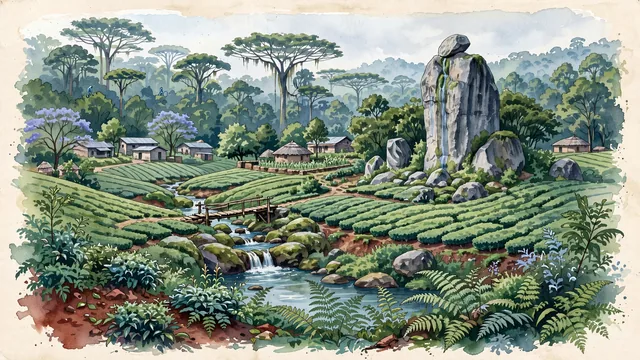
- Favor the classic viewpoint looking across the terraced green tea fields toward the towering wall of the Kakamega Forest with the Crying Stone rising in the landscape, showing tea bush foliage and ferns in the foreground, the rolling green tea rows, Isiukhu River, and the Crying Stone in the middle-ground, and the colossal, mist-veiled rainforest tree canopy fading in the background.
- Palette
- Green should be the predominant color, especially in the multi-tiered canopy of the Kakamega Rainforest, emerald tea plantations, and lush roadside ferns.
- Guarded against
- Not Kisumu, Eldoret, or Nairobi
Population1,867,579Wikidata: 91,778
Coordinates0.28°N, 34.75°E
Time zoneAfrica/NairobiUTC+3
Solar noon12:41clock runs 0.7 h ahead of the sun
Through the Earth
Dig straight through the Earth from Kakamega and you surface in open ocean, nearest to Taiohae, French Polynesia — 1,116 km from the exact antipodal point.
Nearest cities in the atlas
| Kampala | UG | 241 km |
| Nairobi | KE | 288 km |
| Mwanza | TZ | 373 km |
| Kigali | RW | 577 km |
| Juba | SS | 618 km |
| Gitega | BI | 677 km |
| Dodoma | TZ | 726 km |
| Mombasa | KE | 728 km |
Twinned cities
Wikidata records no twinned cities for Kakamega inside this atlas.