
City
Makassar
Indonesia
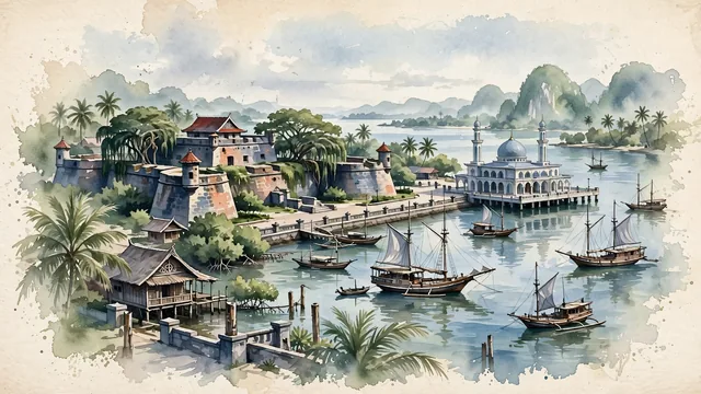
What guided this image
- Landmarks
- Fort Rotterdam; Losari Beach; Floating Mosque; Bugis-Makassar; Bugis; Rammang-Rammang; lush South Sulawesi tropical coastal flora; Gowa Sultanate
- Viewpoint
- Favor the classic viewpoint looking across the landscape toward the signature landmarks of Makassar, showing regional foliage and foreground textures, the iconic architectural monuments in the middle-ground, and the distant horizon fading in the background.
- Palette
- Green should be the predominant color, especially in coastal coconut palms, banyans around Fort Rotterdam, and mangrove fringes.
Population1,474,393Wikidata: 1,338,663
Coordinates5.15°S, 119.43°E
Elevation15 m
Area176 km²
Time zoneAsia/MakassarUTC+8
Solar noon12:02clock runs 0.0 h ahead of the sun
Through the Earth
Dig straight through the Earth from Makassar and you surface nearest to Uiramutã, Brazil — 76 km from the exact antipodal point.
Nearest cities in the atlas
| Surabaya | ID | 774 km |
| Dili | TL | 777 km |
| Jepara | ID | 982 km |
| Semarang | ID | 1,017 km |
| Bandar Seri Begawan | BN | 1,223 km |
| Bandung | ID | 1,322 km |
| Zamboanga | PH | 1,373 km |
| Bekasi | ID | 1,382 km |
Twinned cities
Wikidata records no twinned cities for Makassar inside this atlas.