
City
Monrovia
Capital of Liberia
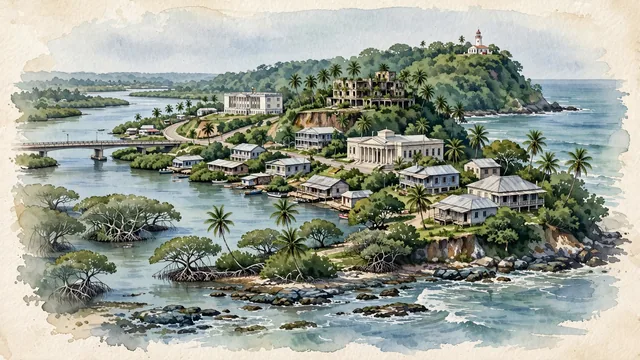
What guided this image
- Landmarks
- Cape Mesurado Lighthouse; Mamba Point; Mesurado River and Stockton Creek; Providence Island; Ducor Palace Hotel; traditional Americo-Liberian architectural heritage; Masonic Temple; dense equatorial coastal vegetation
- Viewpoint
- Favor an elevated coastal viewpoint looking along the Mesurado Peninsula toward Cape Mesurado (such as from across the river or from the Mamba Point bluffs), showing the ocean breakers on one side, the river estuary on the other, and the historic architecture nestled in tropical greenery.
- Palette
- Green should be the predominant color, especially in the thick tropical rainforest vegetation of Cape Mesurado, mangrove lagoons, and roadside palm trees.
- Guarded against
- Not a generic West African coastal town
Population1,542,549Wikidata: 1,021,762
Coordinates6.30°N, 10.80°W
Area194 km²
Time zoneAfrica/MonroviaUTC+0
Solar noon12:43clock runs 0.7 h ahead of the sun
Through the Earth
Dig straight through the Earth from Monrovia and you surface in open ocean, nearest to Lata, Solomon Islands — 618 km from the exact antipodal point.
Nearest cities in the atlas
| Freetown | SL | 363 km |
| Conakry | GN | 480 km |
| Camayenne | GN | 481 km |
| Yamoussoukro | CI | 613 km |
| Abobo | CI | 756 km |
| Abidjan | CI | 760 km |
| Bamako | ML | 767 km |
| Bissau | GW | 812 km |
Twinned cities
- Taipei TW
1 of 3 twinned cities are in this atlas. See the full network →