
City
Nanjing
China
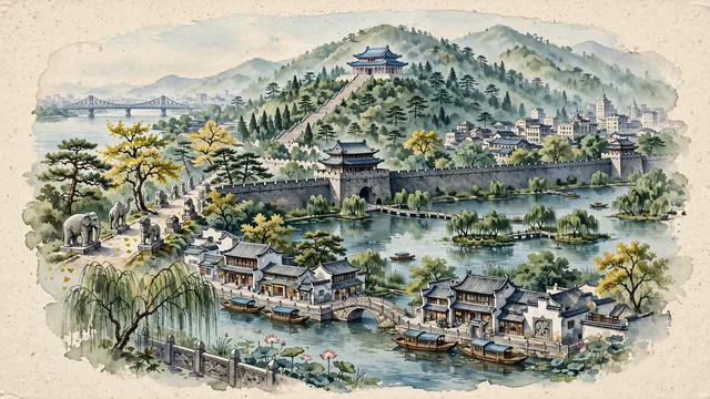
What guided this image
- Landmarks
- Sun Yat-sen Mausoleum; UNESCO World Heritage Ming Xiaoling Tomb; Ming Dynasty City Wall of Nanjing; Qinhuai River; Xuanwu Lake; Nanjing Yangtze River Bridge; lush lower Yangtze delta and mountain flora; Republic of China
- Viewpoint
- Favor the classic viewpoint looking across the landscape toward the signature landmarks of Nanjing, showing regional foliage and foreground textures, the iconic architectural monuments in the middle-ground, and the distant horizon fading in the background.
- Palette
- Green should be the predominant color, especially in shady plane tree avenues, weeping willows along Xuanwu Lake, and Purple Mountain pines.
Population9,314,685Wikidata: 8,187,800
Coordinates32.06°N, 118.78°E
Elevation15 m
Area6,587 km²
Time zoneAsia/ShanghaiUTC+8
Solar noon12:05clock runs 0.1 h ahead of the sun
Through the Earth
Dig straight through the Earth from Nanjing and you surface nearest to Gálvez, Argentina — 3 km from the exact antipodal point.
Nearest cities in the atlas
| Yangzhou | CN | 73 km |
| Wuhu | CN | 86 km |
| Changzhou | CN | 115 km |
| Taizhou | CN | 116 km |
| Yixing | CN | 125 km |
| Jiangyin | CN | 141 km |
| Hefei | CN | 143 km |
| Wuxi | CN | 153 km |
Twinned cities
- Bandar Seri Begawan BN
- Barranquilla CO
- Bloemfontein ZA
- Daejeon KR
- Dallas US
- Houston US
- Mexicali MX
- Nagoya JP
- Windhoek NA
9 of 24 twinned cities are in this atlas. See the full network →