
City
Praia
Capital of Cape Verde
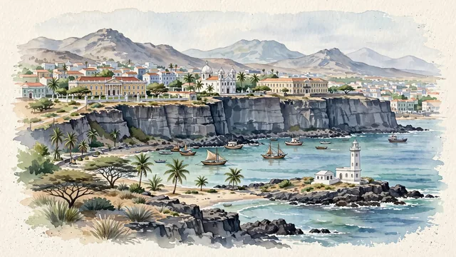
What guided this image
- Landmarks
- Plateau; the historic Portuguese colonial architecture of the Plateau; Church of Our Lady of Grace; Quartel Jaime Mota; Quebra Canela; Farol de D. Maria Pia
- Viewpoint
- Favor an elevated coastal viewpoint looking across Praia Harbour toward the dramatic cliff of the Plateau (such as from near Prainha or the harbour entrance), showing the blue-green ocean waters below, the sheer basalt cliffs rising to the colonial skyline in the middle-ground, and the distant volcanic peaks of Santiago fading in the background.
- Palette
- Green should be the predominant color, especially in the coastal palms, landscaped Plateau gardens, acacia trees, and the clear blue-green waters of the Atlantic coves.
- Guarded against
- Not a generic volcanic island or Caribbean port
Population137,868Wikidata: 127,832
Coordinates14.93°N, 23.51°W
Elevation1 m
Area103 km²
Time zoneAtlantic/Cape_VerdeUTC−1
Solar noon12:34clock runs 0.6 h ahead of the sun
Through the Earth
Dig straight through the Earth from Praia and you surface in open ocean, nearest to Malango, Solomon Islands — 679 km from the exact antipodal point.
Nearest cities in the atlas
| Dakar | SN | 653 km |
| Banjul | GM | 765 km |
| Touba | SN | 820 km |
| Nouakchott | MR | 876 km |
| Bissau | GW | 921 km |
| Camayenne | GN | 1,223 km |
| Conakry | GN | 1,224 km |
| Freetown | SL | 1,327 km |
Twinned cities
- Bissau GW
- Fortaleza BR
- Jinan CN
- Lisbon PT
- Rio de Janeiro BR
5 of 13 twinned cities are in this atlas. See the full network →
This city sits on
- Cape Verdecountry
- 14Nparallel
- UTC−1offset