
City
Aba
Nigeria
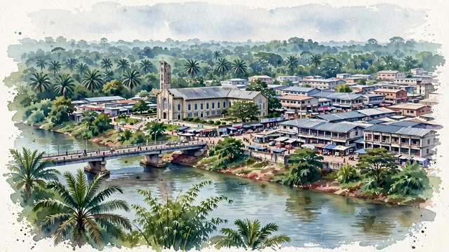
What guided this image
- Landmarks
- Christ the King Catholic Church; Aba River; National Museum of Colonial History; Faulks Road; lush tropical vegetation
- Viewpoint
- Favor an elevated viewpoint overlooking the town toward the Aba River and Waterside Bridge, showing riverbank vegetation in the foreground, bustling trading plazas and the CKC Cathedral tower in the middle-ground, and the lush tropical forest canopy receding into the background.
- Palette
- Green should be the predominant color, especially in the oil palm canopies, riverside vegetation along the Aba River, and urban tree foliage.
- Guarded against
- Not a generic African savanna or coastal lagoon
Population1,160,000Wikidata: 500,183
Coordinates5.11°N, 7.37°E
Elevation205 m
Area72 km²
Time zoneAfrica/LagosUTC+1
Solar noon12:31clock runs 0.5 h ahead of the sun
Through the Earth
Dig straight through the Earth from Aba and you surface nearest to Atafu Village, Tokelau — 382 km from the exact antipodal point.
Nearest cities in the atlas
| Port Harcourt | NG | 54 km |
| Onitsha | NG | 132 km |
| Benin City | NG | 236 km |
| Douala | CM | 284 km |
| Abuja | NG | 439 km |
| Ibadan | NG | 458 km |
| Lagos | NG | 465 km |
| Yaoundé | CM | 480 km |
Twinned cities
Wikidata records no twinned cities for Aba inside this atlas.