
City
Onitsha
Nigeria
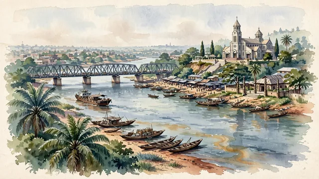
What guided this image
- Landmarks
- River Niger Bridge; Basilica of the Most Holy Trinity; River Niger; Palace of the Obi of Onitsha; lively commercial and civic architecture; lush Niger River rainforest flora; Niger River
- Viewpoint
- Favor the classic viewpoint looking across the landscape toward the signature landmarks of Onitsha, showing regional foliage and foreground textures, the iconic architectural monuments in the middle-ground, and the distant horizon fading in the background.
- Palette
- Green should be the predominant color, especially in towering oil palms, broad mango trees, and lush tropical greenery along the river bluffs.
Population1,553,000Wikidata: 561,066
Coordinates6.15°N, 6.79°E
Elevation65 m
Area36 km²
Time zoneAfrica/LagosUTC+1
Solar noon12:33clock runs 0.5 h ahead of the sun
Through the Earth
Dig straight through the Earth from Onitsha and you surface nearest to Atafu Village, Tokelau — 276 km from the exact antipodal point.
Nearest cities in the atlas
| Benin City | NG | 130 km |
| Aba | NG | 132 km |
| Port Harcourt | NG | 154 km |
| Abuja | NG | 333 km |
| Ibadan | NG | 346 km |
| Ilorin | NG | 360 km |
| Lagos | NG | 377 km |
| Douala | CM | 398 km |
Twinned cities
Wikidata records no twinned cities for Onitsha inside this atlas.