
City
Port Harcourt
Nigeria
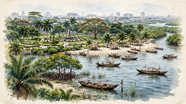
What guided this image
- Landmarks
- Isaac Boro Park; Bonny River; Port Harcourt Tourist Beach; Old GRA; Rivers State Government House; rich Niger Delta rainforest and wetland flora; Niger Delta
- Viewpoint
- Favor the classic viewpoint looking across the landscape toward the signature landmarks of Port Harcourt, showing regional foliage and foreground textures, the iconic architectural monuments in the middle-ground, and the distant horizon fading in the background.
- Palette
- Green should be the predominant color, especially in oil palms, red mangrove stilt roots along tidal creeks, and royal palms lining parkways.
Population2,120,000Wikidata: 3,325,000
Coordinates4.78°N, 7.01°E
Elevation18 m
Area360 km²
Time zoneAfrica/LagosUTC+1
Solar noon12:32clock runs 0.5 h ahead of the sun
Through the Earth
Dig straight through the Earth from Port Harcourt and you surface nearest to Atafu Village, Tokelau — 421 km from the exact antipodal point.
Nearest cities in the atlas
| Aba | NG | 54 km |
| Onitsha | NG | 154 km |
| Benin City | NG | 231 km |
| Douala | CM | 309 km |
| Lagos | NG | 442 km |
| Ibadan | NG | 448 km |
| Abuja | NG | 479 km |
| São Tomé | ST | 495 km |
Twinned cities
Wikidata records no twinned cities for Port Harcourt inside this atlas.