
City
São Tomé
Capital of São Tomé and Príncipe
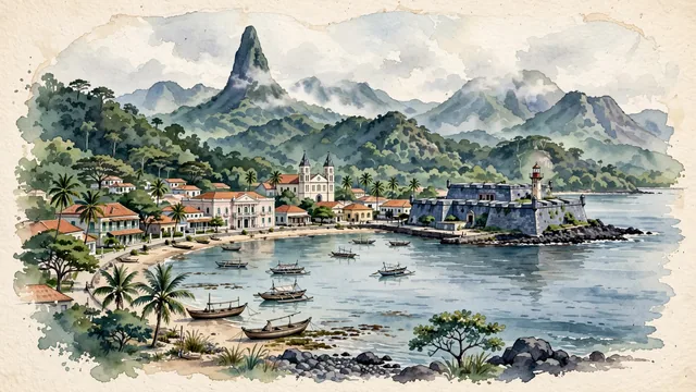
What guided this image
- Landmarks
- Fort of São Sebastião; Cathedral of Our Lady of Grace; Presidential Palace; Ana Chaves Bay; distinctive Portuguese colonial wooden architecture; lush equatorial vegetation; Creole
- Viewpoint
- Favor an elevated coastal viewpoint looking across Ana Chaves Bay toward Forte de São Sebastião and the cathedral spires, showing the calm bay waters in the foreground, the historic town curving along the shore in the middle-ground, and the misty volcanic peaks of the interior rising in the background.
- Palette
- Green should be the predominant color, especially in the dense equatorial rainforest covering the volcanic interior mountains, coastal palm groves, and lush courtyard gardens.
- Guarded against
- Not a generic Caribbean or African mainland port
Population53,300Wikidata: 56,166
Coordinates0.34°N, 6.73°E
Elevation137 m
Area17 km²
Time zoneAfrica/Sao_TomeUTC+0
Solar noon11:33clock runs 0.4 h behind the sun
Through the Earth
Dig straight through the Earth from São Tomé and you surface in open ocean, nearest to Atafu Village, Tokelau — 916 km from the exact antipodal point.
Nearest cities in the atlas
| Libreville | GA | 302 km |
| Ciudad de la Paz | GQ | 475 km |
| Port Harcourt | NG | 495 km |
| Douala | CM | 528 km |
| Aba | NG | 535 km |
| Onitsha | NG | 646 km |
| Yaoundé | CM | 661 km |
| Benin City | NG | 678 km |
Twinned cities
- Accra GH
- Kingstown VC
- Libreville GA
- Lisbon PT
- Luanda AO
5 of 5 twinned cities are in this atlas. See the full network →
This city sits on
- São Tomé and Príncipecountry
- 0Nparallel
- UTC+0offset