
City
Adelaide
Australia
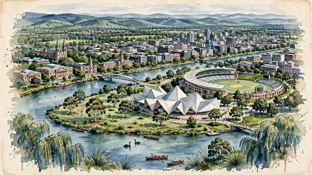
What guided this image
- Landmarks
- River Torrens; St. Peter's Cathedral; South Australian Museum; Adelaide Festival Centre; River Torrens; Adelaide Park Lands; King William Street and Victoria Square; Adelaide Hills
- Viewpoint
- Favor the classic elevated viewpoint from Montefiore Hill (Light's Vision) or across Elder Park looking southeast toward the city skyline and Adelaide Hills, showing eucalyptus branches and riverbanks in the foreground, the River Torrens footbridge and festival precinct in the middle-ground, and the rolling green hills rising in the background.
- Palette
- Green should be the predominant color, especially in the olive-green canopies of river red gums in the Park Lands, manicured lawns of Elder Park, and the forested slopes of the Adelaide Hills.
- Guarded against
- Not Sydney, Melbourne, or Brisbane
Population1,469,163Wikidata: 1,225,235
Coordinates34.93°S, 138.60°E
Elevation1 m
Area1,295 km²
Time zoneAustralia/AdelaideUTC+10:30
Solar noon13:16clock runs 1.3 h ahead of the sun
Through the Earth
Dig straight through the Earth from Adelaide and you surface in open ocean, nearest to Lajes das Flores, Portugal — 1,031 km from the exact antipodal point.
Nearest cities in the atlas
| Melbourne | AU | 653 km |
| Canberra | AU | 958 km |
| Sydney | AU | 1,162 km |
| Brisbane | AU | 1,601 km |
| Perth | AU | 2,131 km |
| Port Moresby | PG | 2,960 km |
| Dili | TL | 3,219 km |
| Wellington | NZ | 3,219 km |
Twinned cities
- Dalian CN
- Rio de Janeiro BR
- Zapopan MX
3 of 7 twinned cities are in this atlas. See the full network →