
City
Zapopan
Mexico
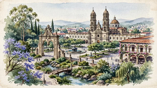
What guided this image
- Landmarks
- Basilica of Our Lady of Zapopan; Américas Juan Pablo II; Arco de Zapopan; Bosque Los Colomos; Jalisco highland valley flora; Spanish Baroque
- Viewpoint
- Favor the classic viewpoint looking across the landscape toward the signature landmarks of Zapopan, showing regional foliage and foreground textures, the iconic architectural monuments in the middle-ground, and the distant horizon fading in the background.
- Palette
- Green should be the predominant color, especially in flowering jacarandas, Indian laurel trees shading the plaza, and climbing bougainvillea.
Population1,476,491Wikidata: 6,144
Coordinates20.72°N, 103.39°W
Elevation1,577 m
Area200 km²
Time zoneAmerica/Mexico_CityUTC−6
Solar noon12:54clock runs 0.9 h ahead of the sun
Through the Earth
Dig straight through the Earth from Zapopan and you surface in open ocean, nearest to Port Mathurin, Mauritius — 1,381 km from the exact antipodal point.
Nearest cities in the atlas
| Guadalajara | MX | 6 km |
| León de los Aldama | MX | 183 km |
| Santiago de Querétaro | MX | 312 km |
| Mexico City | MX | 467 km |
| Ecatepec de Morelos | MX | 469 km |
| Iztapalapa | MX | 477 km |
| Ciudad Nezahualcoyotl | MX | 480 km |
| Puebla | MX | 573 km |
Twinned cities
6 of 18 twinned cities are in this atlas. See the full network →