
City
Budta
Philippines
What guided this image
- Landmarks
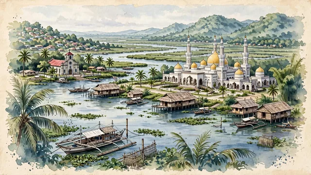
- Sultan Haji Hassanal Bolkiah Mosque; Tamontaka Church; Rio Grande de Mindanao; Maguindanaoan; PC Hill and Timako Hill; lush tropical wetland flora; Maguindanao; Islamic Bangsamoro
- Viewpoint
- Favor an elevated viewpoint overlooking the river delta toward the Grand Mosque, showing riverbank nipa palms and wooden bancas in the foreground, the sweeping river and the golden domes of the Grand Mosque in the middle-ground, and the green volcanic hills (Timako Hill) and soft tropical sky in the background.
- Palette
- Green should be the predominant color, especially in the vast nipa palm and mangrove wetlands along the Rio Grande de Mindanao, coconut groves, and hill forests.
- Guarded against
- Not Manila, Cebu, or Davao
Population1,273,715
Coordinates7.20°N, 124.44°E
Elevation4 m
Time zoneAsia/ManilaUTC+8
Solar noon11:42clock runs 0.3 h behind the sun
Through the Earth
Dig straight through the Earth from Budta and you surface nearest to Novo Progresso, Brazil — 21 km from the exact antipodal point.
Nearest cities in the atlas
| Malingao | PH | 6 km |
| Davao | PH | 130 km |
| Zamboanga | PH | 264 km |
| Taguig | PH | 893 km |
| Manila | PH | 905 km |
| Quezon City | PH | 907 km |
| Caloocan | PH | 911 km |
| Bandar Seri Begawan | BN | 1,081 km |
Twinned cities
Wikidata records no twinned cities for Budta inside this atlas.
This city sits on
- Philippinescountry
- 7Nparallel
- UTC+8offset