
City
Kaduna
Nigeria
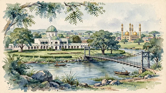
What guided this image
- Landmarks
- Lugard Hall; Sultan Bello Mosque; Lord Lugard Footbridge; Kaduna River; Kaduna Museum; lush Guinea savanna flora; Lord Frederick Lugard's
- Viewpoint
- Favor the classic viewpoint looking across the central lawns toward Lugard Hall or along the Kaduna River from Gamji Park toward the footbridge, showing neem tree branches and granite rocks in the foreground, the calm river waters, historic bridge or colonial building in the middle-ground, and the soft savanna horizon fading in the background.
- Palette
- Green should be the predominant color, especially in the thick canopies of neem and mango trees along the Kaduna River, Lugard Hall lawns, and Gamji Park.
- Guarded against
- Not Kano, Abuja, or Zaria
Population1,850,000Wikidata: 760,084
Coordinates10.53°N, 7.44°E
Elevation250 m
Area431,000,000 km²
Time zoneAfrica/LagosUTC+1
Solar noon12:30clock runs 0.5 h ahead of the sun
Through the Earth
Dig straight through the Earth from Kaduna and you surface nearest to Nukunonu, Tokelau — 167 km from the exact antipodal point.
Nearest cities in the atlas
| Abuja | NG | 164 km |
| Jos | NG | 172 km |
| Kano | NG | 201 km |
| Sokoto | NG | 369 km |
| Ilorin | NG | 390 km |
| Onitsha | NG | 492 km |
| Benin City | NG | 507 km |
| Ibadan | NG | 522 km |
Twinned cities
Wikidata records no twinned cities for Kaduna inside this atlas.