
City
Khulna
Bangladesh
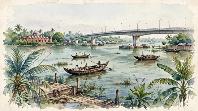
What guided this image
- Landmarks
- Khan Jahan Ali Bridge; UNESCO World Heritage Sixty Dome Mosque; Rupsha River Ghats and Khulna; Bengal; Ganges-Brahmaputra; Khan Jahan Ali Sultanate
- Viewpoint
- Favor the classic viewpoint looking across the Rupsha River from the riverbank ghat toward the Khan Jahan Ali Bridge, showing coconut palm fronds and wooden boat mooring ropes in the foreground, the wide river expanse, wooden rowboats, and concrete bridge spans in the middle-ground, and the lush delta horizon fading in the background.
- Palette
- Green should be the predominant color, especially in the thick coconut and betel palm groves lining the Rupsha riverbanks, mangrove fringes, and lush aquatic flora.
- Guarded against
- Not Dhaka, Chittagong, or Sylhet
Population1,500,689Wikidata: 1,400,689
Coordinates22.81°N, 89.56°E
Elevation9 m
Area60 km²
Time zoneAsia/DhakaUTC+6
Solar noon12:02clock runs 0.0 h ahead of the sun
Through the Earth
Dig straight through the Earth from Khulna and you surface in open ocean, nearest to San Juan Bautista, Chile — 1,654 km from the exact antipodal point.
Nearest cities in the atlas
| Kolkata | IN | 126 km |
| Howrah | IN | 130 km |
| Dhaka | BD | 132 km |
| Gazipur | BD | 159 km |
| Comilla | BD | 182 km |
| Chattogram | BD | 239 km |
| Rangpur | BD | 328 km |
| Dhanbad | IN | 338 km |
Twinned cities
Wikidata records no twinned cities for Khulna inside this atlas.
This city sits on
- Bangladeshcountry
- 22Nparallel
- UTC+6offset