
City
Gazipur
Bangladesh
What guided this image
- Landmarks
- Bhawal Rajbari; Bhawal National Park; Turag River and Shitalakshya River; Saint Shah Sultan Rumi; Bengali; lush Bengal forest flora; Bhawal Raja
- Viewpoint
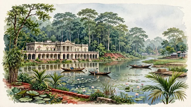
- Favor the classic viewpoint looking across the serene lake in Bhawal National Park toward the towering Sal tree forest, or looking across the palace pond toward the colonnades of Bhawal Rajbari, showing water lilies and betel nut palms in the foreground, the calm lake waters, wooden rowboats, and palace facade in the middle-ground, and the dense forest canopy fading in the background.
- Palette
- Green should be the predominant color, especially in the towering Sal tree canopies of Bhawal National Park, betel nut palms, and lush paddy fields.
- Guarded against
- Not Dhaka, Chittagong, or Sylhet
Population2,674,697Wikidata: 2,677,715
Coordinates24.00°N, 90.42°E
Elevation34 m
Area49 km²
Time zoneAsia/DhakaUTC+6
Solar noon11:58clock runs 0.0 h behind the sun
Through the Earth
Dig straight through the Earth from Gazipur and you surface in open ocean, nearest to San Juan Bautista, Chile — 1,497 km from the exact antipodal point.
Nearest cities in the atlas
| Dhaka | BD | 32 km |
| Comilla | BD | 99 km |
| Khulna | BD | 159 km |
| Rangpur | BD | 228 km |
| Chattogram | BD | 234 km |
| Kolkata | IN | 264 km |
| Howrah | IN | 266 km |
| Thimphu | BT | 394 km |
Twinned cities
- Kunming CN
1 of 1 twinned cities are in this atlas. See the full network →
This city sits on
- Bangladeshcountry
- 24Nparallel
- UTC+6offset