
City
Majuro
Capital of Marshall Islands
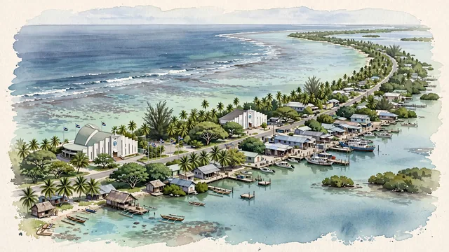
What guided this image
- Landmarks
- Capitol Building of the Marshall Islands; Cathedral of the Assumption; Marshallese; Uliga; lush tropical flora; Micronesian
- Viewpoint
- Favor a slightly elevated panoramic aerial viewpoint looking along the sweeping curve of the atoll, showing the ocean on one side, the calm lagoon on the other, and the DUD community nestled among palm groves along the slender land strip.
- Palette
- Green should be the predominant color, especially in the thick canopy of coconut palms, breadfruit trees, and coastal vegetation along the atoll ribbon.
- Guarded against
- Not a high volcanic island or generic Caribbean beach
Population25,400Wikidata: 30,000
Coordinates7.09°N, 171.38°E
Elevation3 m
Area10 km²
Time zonePacific/MajuroUTC+12
Solar noon12:34clock runs 0.6 h ahead of the sun
Through the Earth
Dig straight through the Earth from Majuro and you surface in open ocean, nearest to Georgetown, Saint Helena, Ascension and Tristan da Cunha — 645 km from the exact antipodal point.
Nearest cities in the atlas
| Tarawa | KI | 665 km |
| Yaren | NR | 983 km |
| Palikir | FM | 1,459 km |
| Funafuti | TV | 1,940 km |
| Honiara | SB | 2,231 km |
| Port-Vila | VU | 2,781 km |
| Suva | FJ | 2,910 km |
| Apia | WS | 2,978 km |
Twinned cities
- Taipei TW
1 of 2 twinned cities are in this atlas. See the full network →
This city sits on
- Marshall Islandscountry
- 7Nparallel
- UTC+12offset