
City
Agra
India
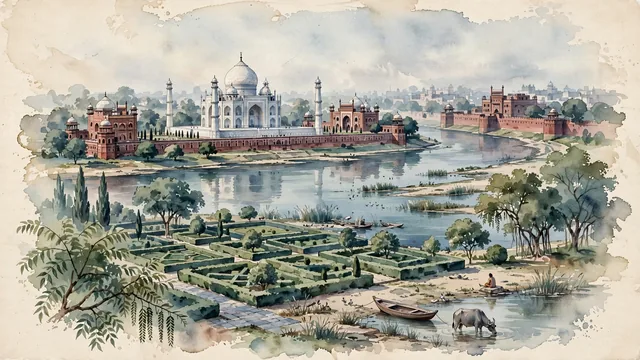
What guided this image
- Landmarks
- Taj Mahal; Yamuna River; Agra Fort; Mughal Indo-Islamic
- Viewpoint
- Favor the classic elevated viewpoint from across the Yamuna River at Mehtab Bagh looking southeast toward the Taj Mahal, showing garden flora and river sandbars in the foreground, the tranquil Yamuna and the monumental marble mausoleum in the middle-ground, and the red ramparts of Agra Fort and misty Uttar Pradesh horizon in the background.
- Palette
- Green should be the predominant color, especially in the charbagh lawns, cypress avenues, fruit orchards of Mehtab Bagh, and riverside tamarind trees.
- Guarded against
- Not a generic Indian palace or fantasy Bollywood set
Population1,430,055Wikidata: 1,585,705
Coordinates27.18°N, 78.02°E
Elevation171 m
Area188 km²
Time zoneAsia/KolkataUTC+5:30
Solar noon12:18clock runs 0.3 h ahead of the sun
Through the Earth
Dig straight through the Earth from Agra and you surface in open ocean, nearest to Hanga Roa, Chile — 736 km from the exact antipodal point.
Nearest cities in the atlas
| Gwalior | IN | 107 km |
| Faridabad | IN | 154 km |
| Ghāziābād | IN | 175 km |
| New Delhi | IN | 179 km |
| Delhi | IN | 181 km |
| Najafgarh | IN | 189 km |
| Meerut | IN | 202 km |
| Jaipur | IN | 223 km |
Twinned cities
Wikidata records no twinned cities for Agra inside this atlas.