
City
Ghāziābād
India
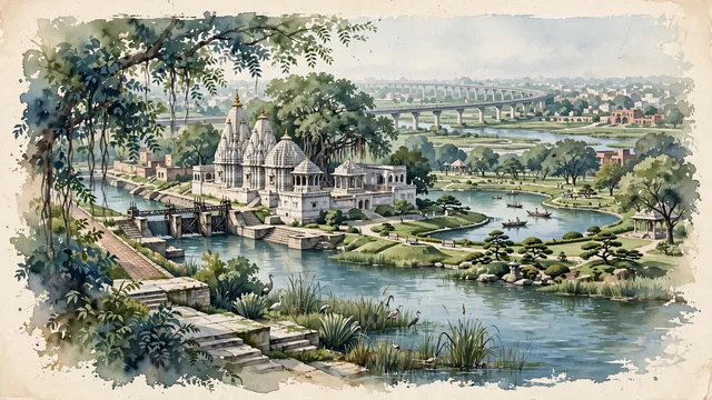
What guided this image
- Landmarks
- Dudheshwar Nath Temple; Upper Ganges Canal; Swarna Jayanti Park; Hindon Elevated Road; Hindon River; Western Uttar Pradesh; lush Indo-Gangetic Doab flora; Vedic and Hindu Shaivite
- Viewpoint
- Favor the classic viewpoint looking across the boating lake in Swarna Jayanti Park toward the park pavilions, or looking along the Upper Ganges Canal with temple spires in the distance, showing neem foliage and stone ghat steps in the foreground, the calm water reflections and temple architecture in the middle-ground, and the lush Doab tree canopy and soft sky in the background.
- Palette
- Green should be the predominant color, especially in the thick canopies of banyan and neem trees around Dudheshwar Temple, Swarna Jayanti Park lawns, and canal towpaths.
- Guarded against
- Not Delhi, Noida, or Meerut
Population1,199,191Wikidata: 2,375,820
Coordinates28.67°N, 77.44°E
Elevation214 m
Area220 km²
Time zoneAsia/KolkataUTC+5:30
Solar noon12:20clock runs 0.3 h ahead of the sun
Through the Earth
Dig straight through the Earth from Ghāziābād and you surface in open ocean, nearest to Hanga Roa, Chile — 695 km from the exact antipodal point.
Nearest cities in the atlas
| Delhi | IN | 21 km |
| New Delhi | IN | 23 km |
| Faridabad | IN | 32 km |
| Meerut | IN | 43 km |
| Najafgarh | IN | 45 km |
| Agra | IN | 175 km |
| Gorakhpur | IN | 193 km |
| Jaipur | IN | 253 km |
Twinned cities
Wikidata records no twinned cities for Ghāziābād inside this atlas.