
City
Alexandria
Egypt
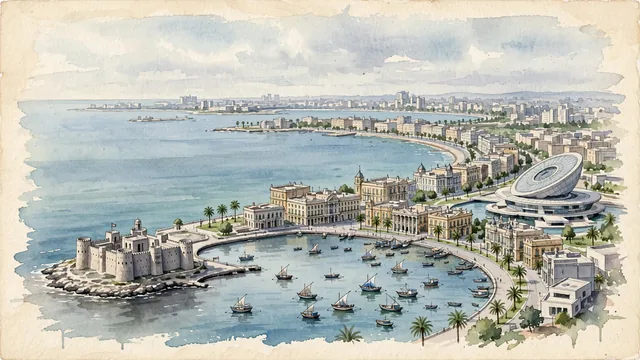
What guided this image
- Landmarks
- Citadel of Qaitbay; Bibliotheca Alexandrina; Eastern Harbour; Stanley Bridge; Italianate and French; Eastern Harbour; lush royal coastal gardens; Hellenistic
- Viewpoint
- Favor an elevated coastal viewpoint looking along the curve of the Corniche toward the Citadel of Qaitbay on its headland, showing Mediterranean waves and fishing boats in the foreground, the sweeping waterfront promenade and Belle Époque facades in the middle-ground, and Qaitbay fortress standing proudly against the open sea in the background.
- Palette
- Green should be the predominant color, especially in the date palms along the Corniche, Montaza palace parklands, and coastal tamarisk trees.
- Guarded against
- Not Cairo, Beirut, or a generic North African port
Population5,263,542Wikidata: 4,028,028
Coordinates31.20°N, 29.92°E
Elevation-1 m
Area2,523 km²
Time zoneAfrica/CairoUTC+2
Solar noon12:00clock runs 0.0 h ahead of the sun
Through the Earth
Dig straight through the Earth from Alexandria and you surface in open ocean, nearest to Mataura, French Polynesia — 875 km from the exact antipodal point.
Nearest cities in the atlas
| Shubrā al Khaymah | EG | 174 km |
| Cairo | EG | 180 km |
| Giza | EG | 181 km |
| Ramallah | PS | 506 km |
| Jerusalem | IL | 506 km |
| East Jerusalem | PS | 508 km |
| Nicosia | CY | 545 km |
| Amman | JO | 577 km |
Twinned cities
- Bratislava SK
- Casablanca MA
- Durban ZA
- Jeddah SA
- Kanpur IN
- Odesa UA
- Saint Petersburg RU
- Shanghai CN
8 of 21 twinned cities are in this atlas. See the full network →