
City
Ramallah
Capital of Palestine
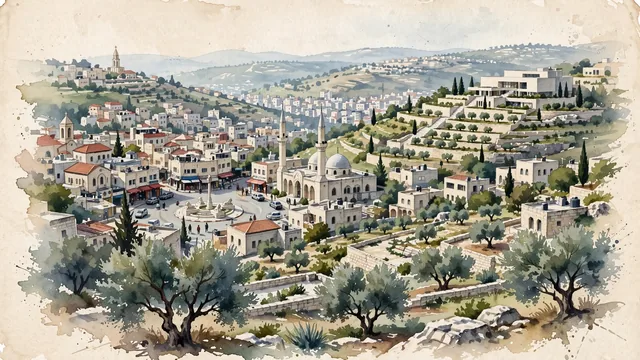
What guided this image
- Landmarks
- Manara Square; Palestinian Museum; Old Ramallah; Palestinian; British Mandate
- Viewpoint
- Favor an elevated viewpoint overlooking Ramallah from one of its scenic surrounding hills (such as from the heights near Al-Tireh or looking toward Al-Manara), showing olive-terraced slopes in the foreground, with the limestone houses, church spires, and mosque minarets cascading across the rolling hills in the middle-ground, and the layered highland ridges fading into the background.
- Palette
- Green should be the predominant color, especially in the ancient terraced olive groves, cypresses, fig trees, and hillside gardens.
- Guarded against
- Not an ancient desert ruin or generic Middle Eastern town
Population43,880
Coordinates31.90°N, 35.20°E
Elevation847 m
Area16 km²
Time zoneAsia/HebronUTC+2
Solar noon11:39clock runs 0.3 h behind the sun
Through the Earth
Dig straight through the Earth from Ramallah and you surface in open ocean, nearest to Mataura, French Polynesia — 1,056 km from the exact antipodal point.
Nearest cities in the atlas
| East Jerusalem | PS | 14 km |
| Jerusalem | IL | 15 km |
| Amman | JO | 71 km |
| Damascus | SY | 206 km |
| Beirut | LB | 223 km |
| Nicosia | CY | 402 km |
| Shubrā al Khaymah | EG | 425 km |
| Cairo | EG | 429 km |
Twinned cities
- Amman JO
- Amsterdam NL
- Bogotá CO
- Buenos Aires AR
- Casablanca MA
- Diyarbakır TR
- Dublin IE
- Johannesburg ZA
- Moscow RU
- Paris FR
- Porto Alegre BR
- Rio de Janeiro BR
- Sofia BG
- Tunis TN
- Wuhan CN
15 of 42 twinned cities are in this atlas. See the full network →