
City
Paris
Capital of France
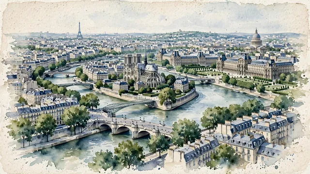
What guided this image
- Landmarks
- Seine River; Pont Neuf; Île de la Cité; Eiffel Tower; Panthéon
- Viewpoint
- Favor a slightly elevated viewpoint looking east or south-east along the Seine (such as from an elevated vantage near the Passerelle Léopold-Sédar-Senghor or Pont de la Concorde), showing the sweeping river leading toward the Île de la Cité and Notre-Dame, with Haussmannian rooftops flanking the banks and the Eiffel Tower or historic domes placed naturally in the balanced perspective.
- Palette
- Green should be the predominant color, especially in the plane trees along the Seine quais, the Tuileries gardens, courtyard plantings, and the soft blue-green washes of the river water.
- Guarded against
- Not a romanticized fantasy or postcard caricature
Population2,138,551Wikidata: 2,145,906
Coordinates48.85°N, 2.35°E
Elevation28 m
Area105 km²
Time zoneEurope/ParisUTC+1
Solar noon12:51clock runs 0.8 h ahead of the sun
Through the Earth
Dig straight through the Earth from Paris and you surface in open ocean, nearest to Waitangi, New Zealand — 551 km from the exact antipodal point.
Nearest cities in the atlas
| Brussels | BE | 265 km |
| Luxembourg | LU | 287 km |
| London | GB | 344 km |
| Köln | DE | 402 km |
| Amsterdam | NL | 430 km |
| Bern | CH | 435 km |
| Birmingham | GB | 502 km |
| Vaduz | LI | 566 km |
Twinned cities
- Beijing CN
- Berlin DE
- Cairo EG
- Chicago US
- Dubai AE
- Kyiv UA
- Kyoto JP
- Mexico City MX
- Porto Alegre BR
- Ramallah PS
- Rome IT
- Saint Petersburg RU
- Seoul KR
- Tbilisi GE
- Tirana AL
- Tokyo JP
- Washington US
17 of 20 twinned cities are in this atlas. See the full network →