
City
Porto Alegre
Brazil
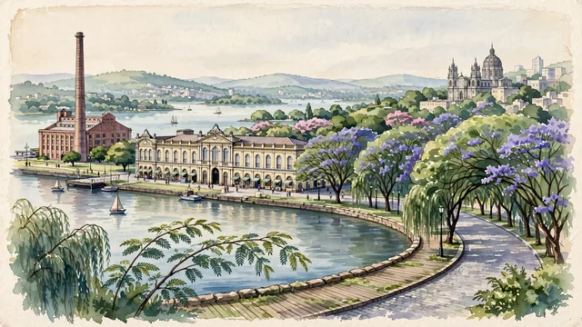
What guided this image
- Landmarks
- Usina do Gasômetro; Mercado Público de Porto Alegre; Rua Gonçalo de Carvalho; Metropolitan Cathedral; Orla do Guaíba; lush southern Brazilian flora; Brazilian
- Viewpoint
- Favor the classic viewpoint looking across the landscape toward the signature landmarks of Porto Alegre, showing regional foliage and foreground textures, the iconic architectural monuments in the middle-ground, and the distant horizon fading in the background.
- Palette
- Green should be the predominant color, especially in towering tipuana tree tunnels, flowering jacarandás, and weeping willows along the Guaíba shoreline.
Population1,488,252Wikidata: 1,360,590
Coordinates30.03°S, 51.23°W
Elevation10 m
Area497 km²
Time zoneAmerica/Sao_PauloUTC−3
Solar noon12:25clock runs 0.4 h ahead of the sun
Through the Earth
Dig straight through the Earth from Porto Alegre and you surface nearest to Nakanoshima, Japan — 108 km from the exact antipodal point.
Nearest cities in the atlas
| Curitiba | BR | 547 km |
| Montevideo | UY | 714 km |
| Asunción | PY | 823 km |
| Buenos Aires | AR | 843 km |
| São Paulo | BR | 852 km |
| Guarulhos | BR | 867 km |
| Campinas | BR | 894 km |
| Rio de Janeiro | BR | 1,126 km |
Twinned cities
- Buenos Aires AR
- Paris FR
- Ramallah PS
- Saint Petersburg RU
- Suzhou CN
5 of 17 twinned cities are in this atlas. See the full network →