
City
Amritsar
India
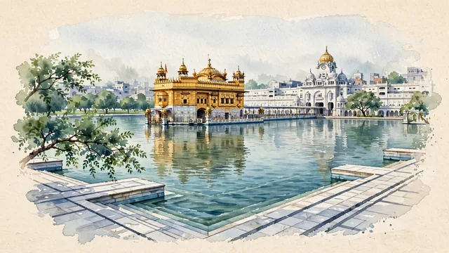
What guided this image
- Landmarks
- Golden Temple; Amrit Sarovar; Guru's Bridge; Akal Takht; ancient sacred trees within the complex; the bustling historic walled city surrounding the temple; Maharaja Ranjit Singh's; Sikh
- Viewpoint
- Favor the classic elevated viewpoint from across the Amrit Sarovar (such as from the eastern or northern parikrama), looking across the tranquil water toward the Golden Temple and the causeway, showing the white marble walkways in the foreground, the floating golden sanctum reflecting in the middle-ground, and the Akal Takht and historic town skyline in the background.
- Palette
- Green should be the predominant color, especially in the sacred ber trees, Ram Bagh parklands, and temple garden foliage.
- Guarded against
- Not Lahore, Delhi, or a generic Indian temple town
Population1,159,227Wikidata: 1,132,383
Coordinates31.62°N, 74.88°E
Elevation234 m
Area170 km²
Time zoneAsia/KolkataUTC+5:30
Solar noon12:30clock runs 0.5 h ahead of the sun
Through the Earth
Dig straight through the Earth from Amritsar and you surface in open ocean, nearest to Hanga Roa, Chile — 648 km from the exact antipodal point.
Nearest cities in the atlas
| Lahore | PK | 51 km |
| Gujranwala | PK | 89 km |
| Ludhiana | IN | 121 km |
| Faisalabad | PK | 171 km |
| Gorakhpur | IN | 253 km |
| Srinagar | IN | 275 km |
| Rawalpindi | PK | 279 km |
| Islamabad | PK | 290 km |
Twinned cities
Wikidata records no twinned cities for Amritsar inside this atlas.