
City
Ashgabat
Capital of Turkmenistan
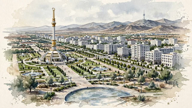
What guided this image
- Landmarks
- The Independence Monument; Independence Park; The Turkmenistan television tower; Neutrality Monument and Wedding Palace
- Viewpoint
- Use a modestly elevated southward view across Independence Park toward the Kopet Dag, a recognizable ceremonial district that must retain the surrounding apartment blocks and dry setting instead of becoming an isolated fantasy monument.
- Palette
- For this arid city, explicitly shift the greens toward grey-green, olive, dusty sage and pale khaki; white paper, cool sand-beige and slate-grey shadows should carry the city and mountains, with subdued sage restricted to the irrigated park.
- Guarded against
- Avoid making Ashgabat look like Samarkand with dense turquoise-tiled medieval monuments, Dubai with a glass waterfront, or a green Alpine capital.
Population1,030,063
Coordinates37.95°N, 58.38°E
Elevation219 m
Area765 km²
Time zoneAsia/AshgabatUTC+5
Solar noon13:06clock runs 1.1 h ahead of the sun
Through the Earth
Dig straight through the Earth from Ashgabat and you surface in open ocean, nearest to Adamstown, Pitcairn Islands — 1,640 km from the exact antipodal point.
Nearest cities in the atlas
| Mashhad | IR | 213 km |
| Tehran | IR | 668 km |
| Karaj | IR | 698 km |
| Baku | AZ | 780 km |
| Isfahan | IR | 847 km |
| Dushanbe | TJ | 910 km |
| Tashkent | UZ | 998 km |
| Kabul | AF | 1,039 km |
Twinned cities
5 of 7 twinned cities are in this atlas. See the full network →
This city sits on
- Turkmenistancountry
- 37Nparallel
- UTC+5offset