
City
Isfahan
Iran
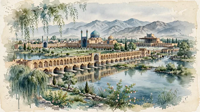
What guided this image
- Landmarks
- Si-o-se-pol; Khaju Bridge; UNESCO Naqsh-e Jahan Square; Shah Mosque; Ali Qapu Palace; Zayandeh River; Mount Soffeh; lush Iranian oasis and plateau flora
- Viewpoint
- Favor the classic viewpoint looking along the Zayandeh River toward the thirty-three pointed brick arches of Si-o-se-pol or the double-tiered pavilions of Khaju Bridge, showing weeping willow fronds and stone riverbanks in the foreground, the calm river waters, bridge arches, and central pavilions in the middle-ground, and the distant silhouette of Mount Soffeh fading in the background.
- Palette
- Green should be the predominant color, especially in the thick canopies of plane trees and weeping willows along the Zayandeh River, cypress spires, and Naqsh-e Jahan lawns.
- Guarded against
- Not Tehran, Shiraz, or Yazd
Population1,547,164Wikidata: 1,961,260
Coordinates32.65°N, 51.67°E
Elevation1,574 m
Area494 km²
Time zoneAsia/TehranUTC+3:30
Solar noon12:03clock runs 0.1 h ahead of the sun
Through the Earth
Dig straight through the Earth from Isfahan and you surface in open ocean, nearest to Adamstown, Pitcairn Islands — 860 km from the exact antipodal point.
Nearest cities in the atlas
| Tehran | IR | 339 km |
| Shiraz | IR | 348 km |
| Karaj | IR | 359 km |
| Al Başrah al Qadīmah | IQ | 436 km |
| Basrah | IQ | 439 km |
| Kuwait City | KW | 507 km |
| Sadr City | IQ | 677 km |
| Baghdad | IQ | 682 km |
Twinned cities
- Barcelona ES
- Cairo EG
- Dakar SN
- Havana CU
- Hyderabad IN
- Istanbul TR
- Kathmandu NP
- Kuala Lumpur MY
- Kuwait City KW
- Lahore PK
- Maracaibo VE
- Saint Petersburg RU
- Xi’an CN
- Yerevan AM
14 of 19 twinned cities are in this atlas. See the full network →