
City
Dombivali
India
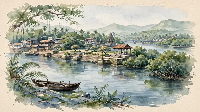
What guided this image
- Landmarks
- Reti Bunder; Ganesh Ghat; Phadke Road and Appa Pendse Chowk; Mankoli and Thane; Maharashtrian; Western Ghats; lush Konkan coastal estuary flora; Shilahara
- Viewpoint
- Favor the classic viewpoint looking across the Ulhas River from Ganesh Ghat or Reti Bunder, showing coconut palm fronds and wooden boats in the foreground, the stepped stone ghat, river water, and mangrove forests in the middle-ground, and the low-rise city rooftops and misty mountain foothills fading in the background.
- Palette
- Green should be the predominant color, especially in the lush mangrove forests along the Ulhas estuary, rain tree canopies, and coconut palms.
- Guarded against
- Not central Mumbai, Thane, or Navi Mumbai
Population1,247,327
Coordinates19.22°N, 73.08°E
Elevation14 m
Time zoneAsia/KolkataUTC+5:30
Solar noon12:38clock runs 0.6 h ahead of the sun
Through the Earth
Dig straight through the Earth from Dombivali and you surface in open ocean, nearest to Hanga Roa, Chile — 918 km from the exact antipodal point.
Nearest cities in the atlas
| Kalyān | IN | 7 km |
| Thāne | IN | 13 km |
| Navi Mumbai | IN | 21 km |
| Mumbai | IN | 27 km |
| Virār | IN | 39 km |
| Pimpri-Chinchwad | IN | 101 km |
| Pimpri | IN | 102 km |
| Shivaji Nagar | IN | 112 km |
Twinned cities
Wikidata records no twinned cities for Dombivali inside this atlas.