
City
Erbil
Iraq
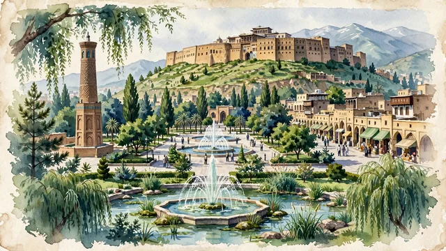
What guided this image
- Landmarks
- UNESCO World Heritage Erbil Citadel; Shar Garden Square; Mudhafaria Minaret; Qaysari Bazaar; Kurdish-Ottoman; Zagros Mountains; lush northern Mesopotamian flora; Mesopotamian
- Viewpoint
- Favor the classic viewpoint looking up from Shar Garden Square toward the dramatic oval cliff of the Citadel, showing fountain water jets and plane tree branches in the foreground, the vibrant pedestrian square and the steep earthen slope in the middle-ground, and the unbroken fortified brick perimeter of the Citadel crowned with timber balconies rising against the soft sky in the background.
- Palette
- Green should be the predominant color, especially in the thick canopies of plane trees and pines around Shar Garden Square, Minare Park, and Sami Abdulrahman Park.
- Guarded against
- Not Baghdad, Mosul, or Sulaymaniyah
Population1,612,700Wikidata: 846,000
Coordinates36.19°N, 44.01°E
Elevation420 m
Area12,000 km²
Time zoneAsia/BaghdadUTC+3
Solar noon12:04clock runs 0.1 h ahead of the sun
Through the Earth
Dig straight through the Earth from Erbil and you surface in open ocean, nearest to Adamstown, Pitcairn Islands — 1,358 km from the exact antipodal point.
Nearest cities in the atlas
| Mosul | IQ | 82 km |
| Al Mawşil al Jadīdah | IQ | 82 km |
| Kirkuk | IQ | 87 km |
| Tabriz | IR | 292 km |
| Sadr City | IQ | 314 km |
| Baghdad | IQ | 319 km |
| Diyarbakır | TR | 387 km |
| Karbala | IQ | 397 km |
Twinned cities
Wikidata records no twinned cities for Erbil inside this atlas.