
City
Kirkuk
Iraq
What guided this image
- Landmarks
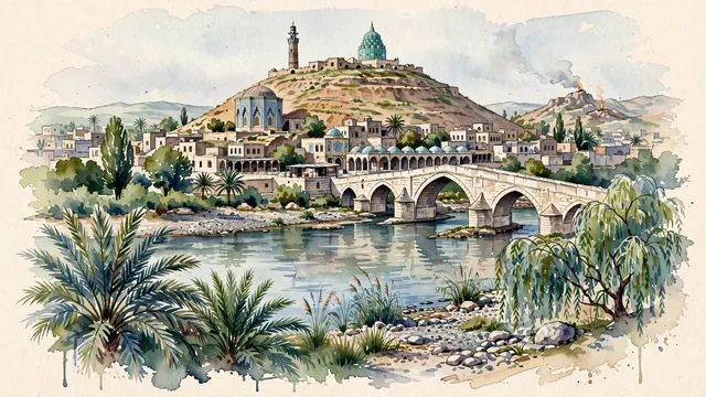
- Kirkuk Citadel; Shrine of Prophet Daniel; Gök Kümbet; Ottoman Stone Bridge; Qaisariya Covered Bazaar; Turkmen and Kurdish; Baba Gurgur; lush northern Mesopotamian riverbank flora
- Viewpoint
- The towering Kirkuk Citadel mound with the Green Dome and minarets, viewed across the Khasa River bed with the historic Stone Bridge, should occupy most of the image while leaving enough open space, soft sky, and exposed watercolor paper to create depth.
- Palette
- Green should be the predominant color, especially in the thick date palms and willows lining the Khasa River, courtyard gardens, and orchard trees.
- Guarded against
- Not Erbil, Mosul, or Baghdad
Population1,031,000Wikidata: 850,787
Coordinates35.47°N, 44.39°E
Elevation350 m
Time zoneAsia/BaghdadUTC+3
Solar noon12:02clock runs 0.0 h ahead of the sun
Through the Earth
Dig straight through the Earth from Kirkuk and you surface in open ocean, nearest to Adamstown, Pitcairn Islands — 1,271 km from the exact antipodal point.
Nearest cities in the atlas
| Erbil | IQ | 87 km |
| Al Mawşil al Jadīdah | IQ | 150 km |
| Mosul | IQ | 150 km |
| Sadr City | IQ | 231 km |
| Baghdad | IQ | 237 km |
| Karbala | IQ | 319 km |
| Tabriz | IR | 336 km |
| Diyarbakır | TR | 460 km |
Twinned cities
Wikidata records no twinned cities for Kirkuk inside this atlas.