
City
Kallakurichi
India
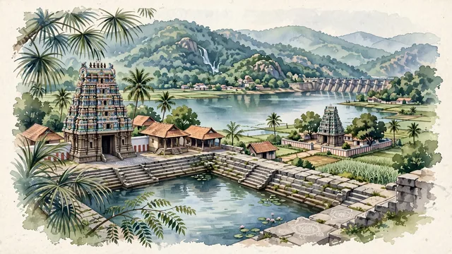
What guided this image
- Landmarks
- Koothandavar Temple; Gomukhi Dam; Periyar Falls and Megam Falls; Tamil; lush Tamil Nadu foothill flora; Chola and Pallava Dravidian
- Viewpoint
- Favor the classic viewpoint looking across the temple tank (teppakulam) or Gomukhi Reservoir toward the temple gopuram with the forested Kalrayan Hills rising in the background, showing palmyra palm fronds and stone steps in the foreground, the calm water reflections, temple towers, and rural dwellings in the middle-ground, and the rolling green mountain ridges fading in the background.
- Palette
- Green should be the predominant color, especially in the thick palmyra and coconut palm groves, sugarcane fields, and the forested slopes of the Kalrayan Hills.
- Guarded against
- Not Salem, Tiruvannamalai, or Villupuram
Population1,682,687
Coordinates11.73°N, 78.96°E
Elevation111 m
Time zoneAsia/KolkataUTC+5:30
Solar noon12:14clock runs 0.2 h ahead of the sun
Through the Earth
Dig straight through the Earth from Kallakurichi and you surface in open ocean, nearest to Puerto Villamil, Ecuador — 1,634 km from the exact antipodal point.
Nearest cities in the atlas
| Tiruchirappalli | IN | 105 km |
| Bengaluru | IN | 203 km |
| Chennai | IN | 208 km |
| Madurai | IN | 221 km |
| Coimbatore | IN | 231 km |
| Tirunelveli | IN | 362 km |
| Colombo | LK | 541 km |
| Sri Jayewardenepura Kotte | LK | 549 km |
Twinned cities
Wikidata records no twinned cities for Kallakurichi inside this atlas.