
City
Khartoum North
Sudan
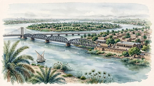
What guided this image
- Landmarks
- Blue Nile Road and Railway Bridge; Shambat Bridge; Tuti Island; Bahri; Blue Nile; Sudanese; lush riparian Nile oasis flora; Nile
- Viewpoint
- Favor the classic viewpoint looking across the Blue Nile toward Khartoum North with the historic steel bridge in view, showing date palm fronds and river reeds in the foreground, the calm Nile waters, wooden fishing boats, and steel bridge trusses in the middle-ground, and the lush green orchards of Tuti Island and the distant Nile horizon fading in the background.
- Palette
- Green should be the predominant color, especially in the thick date palm groves along the Nile, mango orchards of Tuti Island, and shady neem trees lining the streets.
- Guarded against
- Not central Khartoum or Omdurman
Population1,012,211Wikidata: 900,000
Coordinates15.65°N, 32.53°E
Time zoneAfrica/KhartoumUTC+2
Solar noon11:50clock runs 0.2 h behind the sun
Through the Earth
Dig straight through the Earth from Khartoum North and you surface nearest to Avatoru, French Polynesia — 83 km from the exact antipodal point.
Nearest cities in the atlas
| Omdurman | SD | 5 km |
| Khartoum | SD | 11 km |
| Asmara | ER | 687 km |
| Jeddah | SA | 956 km |
| Addis Ababa | ET | 1,000 km |
| Makkah | SA | 1,002 km |
| Juba | SS | 1,205 km |
| Madinah | SA | 1,228 km |
Twinned cities
Wikidata records no twinned cities for Khartoum North inside this atlas.