
City
Omdurman
Sudan
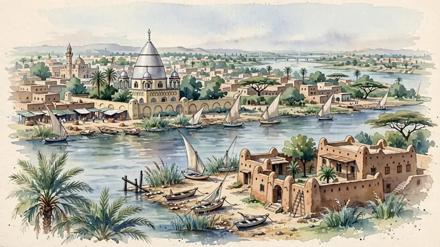
What guided this image
- Landmarks
- Tomb of the Mahdi; Khalifa House Museum; Nile River; Great Mosque of Omdurman; traditional Sudanese vernacular architecture; hardy Saharan and Nile riverine flora; Mahdist Islamic
- Viewpoint
- Favor the classic viewpoint looking across the landscape toward the signature landmarks of Omdurman, showing regional foliage and foreground textures, the iconic architectural monuments in the middle-ground, and the distant horizon fading in the background.
- Palette
- Green should be the predominant color, especially in date palms swaying along the Nile, neem trees in courtyard gardens, and hardy acacia scrub.
Population1,849,659Wikidata: 2,395,159
Coordinates15.64°N, 32.48°E
Elevation178 m
Area615 km²
Time zoneAfrica/KhartoumUTC+2
Solar noon11:50clock runs 0.2 h behind the sun
Through the Earth
Dig straight through the Earth from Omdurman and you surface nearest to Avatoru, French Polynesia — 80 km from the exact antipodal point.
Nearest cities in the atlas
| Khartoum North | SD | 5 km |
| Khartoum | SD | 11 km |
| Asmara | ER | 692 km |
| Jeddah | SA | 961 km |
| Addis Ababa | ET | 1,003 km |
| Makkah | SA | 1,007 km |
| Juba | SS | 1,204 km |
| Madinah | SA | 1,232 km |
Twinned cities
Wikidata records no twinned cities for Omdurman inside this atlas.