
City
Multan
Pakistan
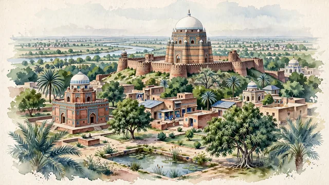
What guided this image
- Landmarks
- Tomb of Shah Rukn-e-Alam; Tomb of Bahauddin Zakariya; Multan Fort; Multani; Chaunsa and Anwar Ratol; lush southern Punjabi plain flora; Indus Valley and Sun Temple
- Viewpoint
- Favor the classic viewpoint looking across the landscape toward the signature landmarks of Multan, showing regional foliage and foreground textures, the iconic architectural monuments in the middle-ground, and the distant horizon fading in the background.
- Palette
- Green should be the predominant color, especially in thick mango orchards enclosing the city, neem trees, and date palms.
Population2,169,915Wikidata: 1,606,481
Coordinates30.20°N, 71.48°E
Elevation122 m
Area3,721 km²
Time zoneAsia/KarachiUTC+5
Solar noon12:14clock runs 0.2 h ahead of the sun
Through the Earth
Dig straight through the Earth from Multan and you surface nearest to Hanga Roa, Chile — 350 km from the exact antipodal point.
Nearest cities in the atlas
| Faisalabad | PK | 205 km |
| Lahore | PK | 313 km |
| Bannu | PK | 321 km |
| Gujranwala | PK | 338 km |
| Amritsar | IN | 361 km |
| Rawalpindi | PK | 406 km |
| Gorakhpur | IN | 413 km |
| Islamabad | PK | 418 km |
Twinned cities
2 of 3 twinned cities are in this atlas. See the full network →