
City
Konya
Turkey
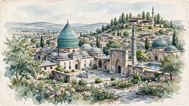
What guided this image
- Landmarks
- Mevlana Museum; Seljuk Alaeddin Mosque; İnce Minareli Madrasa; Karatay Madrasa; Ottoman-era; lush Central Anatolian plateau flora; Seljuk Sultanate of Rum
- Viewpoint
- The Mevlana Museum with its turquoise fluted dome framed by rose gardens, or the view across the square toward Alaeddin Hill and İnce Minareli Madrasa, should occupy most of the image while leaving enough open sky and exposed watercolor paper to create depth.
- Palette
- Green should be the predominant color, especially in the thick poplars and plane trees covering Alaeddin Hill, the iconic turquoise-green glazed tiles of the Mevlana dome (Yeşil Kubbe), and rose garden leaves.
- Guarded against
- Not Kayseri, Ankara, or Sivas
Population1,433,861Wikidata: 2,205,609
Coordinates37.87°N, 32.48°E
Elevation1,019 m
Area41,001 km²
Time zoneEurope/IstanbulUTC+3
Solar noon12:50clock runs 0.8 h ahead of the sun
Through the Earth
Dig straight through the Earth from Konya and you surface in open ocean, nearest to Mataura, French Polynesia — 1,625 km from the exact antipodal point.
Nearest cities in the atlas
| Antalya | TR | 190 km |
| Ankara | TR | 230 km |
| Adana | TR | 270 km |
| Kayseri | TR | 280 km |
| Nicosia | CY | 310 km |
| Bursa | TR | 393 km |
| Gaziantep | TR | 442 km |
| Aleppo | SY | 455 km |
Twinned cities
7 of 16 twinned cities are in this atlas. See the full network →