
City
Yangon
Myanmar
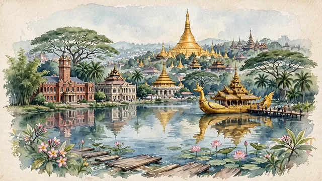
What guided this image
- Landmarks
- Shwedagon Pagoda; Kandawgyi Lake; City Hall; Sule Pagoda; traditional Burmese wooden architecture; tropical lower Myanmar flora
- Viewpoint
- Favor the classic viewpoint looking across the landscape toward the signature landmarks of Yangon, showing regional foliage and foreground textures, the iconic architectural monuments in the middle-ground, and the distant horizon fading in the background.
- Palette
- Green should be the predominant color, especially in giant rain trees (koko) forming shady canopies, royal palms, and blooming frangipani.
Population4,477,638Wikidata: 5,209,541
Coordinates16.81°N, 96.16°E
Elevation15 m
Area576 km²
Time zoneAsia/YangonUTC+6:30
Solar noon12:05clock runs 0.1 h ahead of the sun
Through the Earth
Dig straight through the Earth from Yangon and you surface in open ocean, nearest to Paracas, Peru — 875 km from the exact antipodal point.
Nearest cities in the atlas
| Nay Pyi Taw | MM | 327 km |
| Mandalay | MM | 574 km |
| Bangkok | TH | 577 km |
| Vientiane | LA | 695 km |
| Chattogram | BD | 764 km |
| Comilla | BD | 903 km |
| Khulna | BD | 960 km |
| Dhaka | BD | 974 km |
Twinned cities
- Busan KR
- Fukuoka JP
- Haikou CN
- Ho Chi Minh City VN
- Kathmandu NP
- Kunming CN
- Nanning CN
- Quezon City PH
- Yangzhou CN
9 of 9 twinned cities are in this atlas. See the full network →