
City
Hamburg
Germany
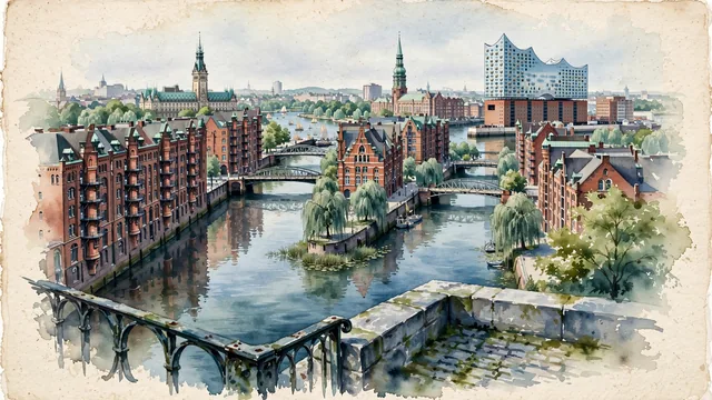
What guided this image
- Landmarks
- UNESCO World Heritage Speicherstadt; Elbphilharmonie Hamburg; Poggenmühlenbrücke; Hamburg Rathaus; St. Michael's Church; Binnenalster and Außenalster; lush northern German maritime flora; Hanseatic League
- Viewpoint
- The Speicherstadt canals (Fleet) with the red-brick warehouses, the Elbphilharmonie on the harbor, or the view toward the Wasserschloss should occupy most of the image while leaving enough open water, soft sky, and exposed watercolor paper to create depth.
- Palette
- Green should be the predominant color, especially in the oxidized copper-green spires and domes of St. Michaelis and the Rathaus, weeping willows along canals, and Alster parklands.
- Guarded against
- Not Bremen, Amsterdam, or Copenhagen
Population1,973,896Wikidata: 1,758,041
Coordinates53.55°N, 9.99°E
Elevation6 m
Area755 km²
Time zoneEurope/BerlinUTC+1
Solar noon12:20clock runs 0.3 h ahead of the sun
Through the Earth
Dig straight through the Earth from Hamburg and you surface in open ocean, nearest to Waitangi, New Zealand — 1,169 km from the exact antipodal point.
Nearest cities in the atlas
| Berlin | DE | 256 km |
| Copenhagen | DK | 289 km |
| Köln | DE | 357 km |
| Amsterdam | NL | 366 km |
| Brussels | BE | 487 km |
| Prague | CZ | 490 km |
| Luxembourg | LU | 513 km |
| Munich | DE | 612 km |
Twinned cities
- Auckland NZ
- Chicago US
- Dar es Salaam TZ
- Kyiv UA
- Osaka JP
- Prague CZ
- Saint Petersburg RU
- São Paulo BR
- Shanghai CN
9 of 15 twinned cities are in this atlas. See the full network →