
City
Jabalpur
India
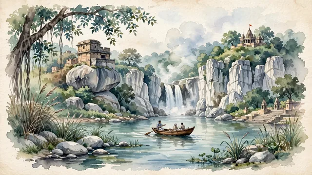
What guided this image
- Landmarks
- Marble Rocks of Bhedaghat; Dhuandhar Falls; Kalachuri-era Chausath Yogini Temple; Madan Mahal Fort; lush Central Indian dry-deciduous forest flora; Gond
- Viewpoint
- Favor the classic viewpoint looking through the marble gorge of Bhedaghat along the tranquil waters of the Narmada River, showing riverbank foliage and marble boulders in the foreground, the sheer white marble cliffs and a wooden rowing boat in the middle-ground, and the mist of Dhuandhar Falls and forested temple hill fading in the background.
- Palette
- Green should be the predominant color, especially in the thick teak and banyan forests crowning the cliffs, riverbank vegetation, and parklands.
- Guarded against
- Not Bhopal, Indore, or Gwalior
Population1,081,677Wikidata: 2,463,289
Coordinates23.17°N, 79.95°E
Area5,198 km²
Time zoneAsia/KolkataUTC+5:30
Solar noon12:10clock runs 0.2 h ahead of the sun
Through the Earth
Dig straight through the Earth from Jabalpur and you surface in open ocean, nearest to Hanga Roa, Chile — 1,041 km from the exact antipodal point.
Nearest cities in the atlas
| Nagpur | IN | 242 km |
| Bhopal | IN | 261 km |
| Raipur | IN | 276 km |
| Prayagraj | IN | 317 km |
| Kanpur | IN | 369 km |
| Gwalior | IN | 385 km |
| Varanasi | IN | 392 km |
| Lucknow | IN | 420 km |
Twinned cities
Wikidata records no twinned cities for Jabalpur inside this atlas.