
City
Bhopal
India
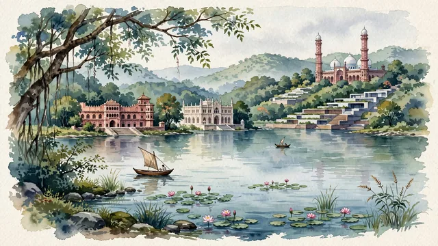
What guided this image
- Landmarks
- Taj-ul-Masajid; Upper Lake; the historic waterfront palaces; Shyamla Hills; Vihar National Park; lush central Indian flora; Paramara
- Viewpoint
- Favor the classic elevated viewpoint from Shyamla Hills or across Upper Lake looking northeast toward the old city and Taj-ul-Masajid, showing lake ripples and lakeside trees in the foreground, the expansive water and historic palaces in the middle-ground, and the soaring pink minarets of Taj-ul-Masajid rising in the background.
- Palette
- Green should be the predominant color, especially in the thick deciduous forests of Shyamla Hills, Van Vihar parklands, and water lilies.
- Guarded against
- Not Lucknow, Delhi, or Hyderabad
Population1,798,218Wikidata: 1,883,381
Coordinates23.25°N, 77.40°E
Elevation427 m
Area648 km²
Time zoneAsia/KolkataUTC+5:30
Solar noon12:20clock runs 0.3 h ahead of the sun
Through the Earth
Dig straight through the Earth from Bhopal and you surface in open ocean, nearest to Hanga Roa, Chile — 812 km from the exact antipodal point.
Nearest cities in the atlas
| Indore | IN | 171 km |
| Jabalpur | IN | 261 km |
| Kota | IN | 267 km |
| Nagpur | IN | 291 km |
| Gwalior | IN | 340 km |
| Aurangabad | IN | 431 km |
| Jaipur | IN | 439 km |
| Agra | IN | 441 km |
Twinned cities
Wikidata records no twinned cities for Bhopal inside this atlas.