
City
Jacksonville
United States
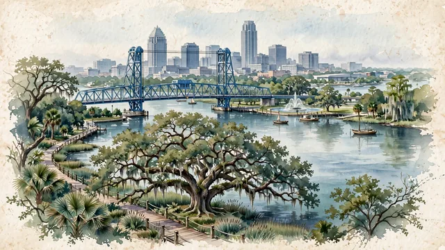
What guided this image
- Landmarks
- Main Street Bridge; Friendship Fountain and the Museum of Science and History; Treaty Oak; Wells Fargo Center and the Bank of America Tower; Prairie School and Mediterranean Revival; lush North Florida subtropical flora; Timucua and Spanish
- Viewpoint
- Favor the classic viewpoint looking across the St. Johns River from the Southbank Riverwalk toward the blue Main Street Bridge and the downtown skyline, showing live oak branches with Spanish moss and boardwalk railings in the foreground, the sweeping river waters, riverwalk, and iconic blue lift bridge in the middle-ground, and the downtown skyscraper cluster fading in the background.
- Palette
- Green should be the predominant color, especially in the thick canopies of live oaks with silver-green Spanish moss, sabal palms, and marsh grasses.
- Guarded against
- Not Miami, Tampa, or Savannah
Population1,009,833Wikidata: 903,000
Coordinates30.33°N, 81.66°W
Elevation11 m
Area2,265 km²
Time zoneAmerica/New_YorkUTC−5
Solar noon12:27clock runs 0.4 h ahead of the sun
Through the Earth
Dig straight through the Earth from Jacksonville and you surface in open ocean, nearest to Kalbarri, Australia — 1,565 km from the exact antipodal point.
Nearest cities in the atlas
| Nassau | BS | 724 km |
| Havana | CU | 804 km |
| Washington | US | 1,042 km |
| Philadelphia | US | 1,221 km |
| Mérida | MX | 1,310 km |
| Houston | US | 1,319 km |
| Brooklyn | US | 1,342 km |
| New York City | US | 1,345 km |
Twinned cities
2 of 8 twinned cities are in this atlas. See the full network →
This city sits on
- United Statescountry
- 30Nparallel
- UTC−5offset