
City
Philadelphia
United States
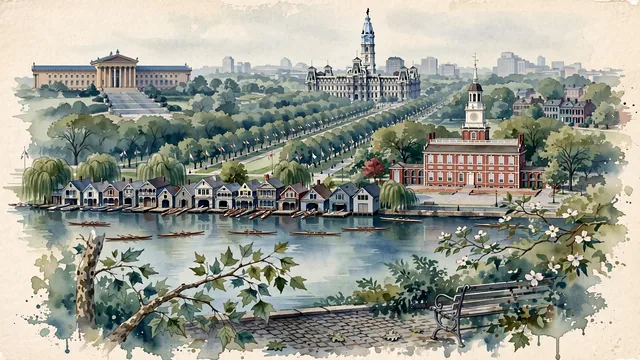
What guided this image
- Landmarks
- Independence Hall; Boathouse Row; Second Empire Philadelphia City Hall; Philadelphia Museum of Art; lush Mid-Atlantic American flora; Schuylkill
- Viewpoint
- Favor the classic viewpoint looking across the landscape toward the signature landmarks of Philadelphia, showing regional foliage and foreground textures, the iconic architectural monuments in the middle-ground, and the distant horizon fading in the background.
- Palette
- Green should be the predominant color, especially in sycamore trees along Independence Mall, weeping willows lining the Schuylkill River, and oak trees.
Population1,573,916Wikidata: 1,560,297
Coordinates39.95°N, 75.16°W
Elevation12 m
Area370 km²
Time zoneAmerica/New_YorkUTC−5
Solar noon12:01clock runs 0.0 h ahead of the sun
Through the Earth
Dig straight through the Earth from Philadelphia and you surface in open ocean, nearest to Augusta, Australia — 1,107 km from the exact antipodal point.
Nearest cities in the atlas
| Brooklyn | US | 129 km |
| New York City | US | 129 km |
| Manhattan | US | 137 km |
| Queens | US | 138 km |
| The Bronx | US | 148 km |
| Washington | US | 199 km |
| Toronto | CA | 546 km |
| Ottawa | CA | 609 km |
Twinned cities
7 of 13 twinned cities are in this atlas. See the full network →
This city sits on
- United Statescountry
- 39Nparallel
- UTC−5offset