
City
Toronto
Canada
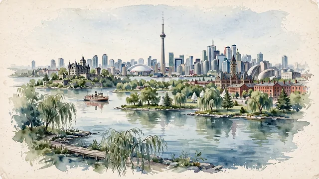
What guided this image
- Landmarks
- Toronto Islands; Toronto Islands; Casa Loma; Worts Distillery District; Old City Hall; southern Ontario Carolinian and Great Lakes flora
- Viewpoint
- Favor the classic viewpoint looking across the landscape toward the signature landmarks of Toronto, showing regional foliage and foreground textures, the iconic architectural monuments in the middle-ground, and the distant horizon fading in the background.
- Palette
- Green should be the predominant color, especially in sugar maples, weeping willows along the island lagoons, and eastern white pines.
Population2,794,356Wikidata: 44,821
Coordinates43.71°N, 79.40°W
Elevation76 m
Area630 km²
Time zoneAmerica/TorontoUTC−5
Solar noon12:18clock runs 0.3 h ahead of the sun
Through the Earth
Dig straight through the Earth from Toronto and you surface in open ocean, nearest to Augusta, Australia — 1,630 km from the exact antipodal point.
Nearest cities in the atlas
| Ottawa | CA | 349 km |
| Montréal | CA | 501 km |
| Philadelphia | US | 546 km |
| Manhattan | US | 553 km |
| The Bronx | US | 555 km |
| New York City | US | 555 km |
| Brooklyn | US | 563 km |
| Queens | US | 568 km |
Twinned cities
- Chicago US
- Chongqing CN
- Ho Chi Minh City VN
- Kyiv UA
- Lisbon PT
- Mexico City MX
- Milan IT
- Quito EC
- Rio de Janeiro BR
- São Paulo BR
- Warsaw PL
11 of 14 twinned cities are in this atlas. See the full network →