
City
Montréal
Canada
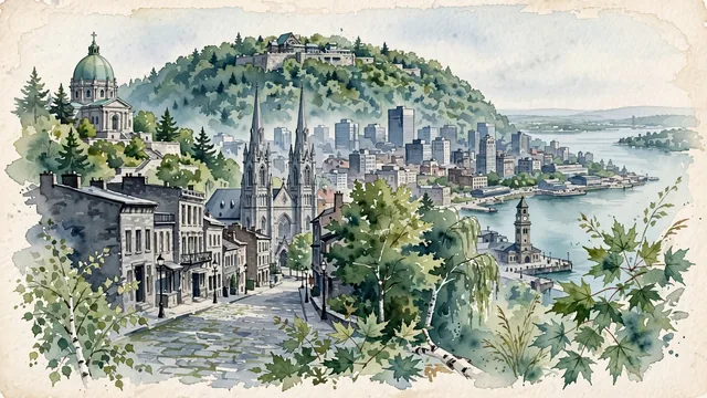
What guided this image
- Landmarks
- Mount Royal; Notre-Dame Basilica; Old Montréal; Old Port of Montréal; Saint Joseph's Oratory; Plateau-Mont-Royal; lush Saint Lawrence valley temperate flora; New France
- Viewpoint
- Favor the classic viewpoint looking across the landscape toward the signature landmarks of Montréal, showing regional foliage and foreground textures, the iconic architectural monuments in the middle-ground, and the distant horizon fading in the background.
- Palette
- Green should be the predominant color, especially in vibrant sugar maples covering Mount Royal, white pines, and park lawns.
Population1,762,949Wikidata: 1,649,519
Coordinates45.51°N, 73.59°W
Elevation31 m
Area498 km²
Time zoneAmerica/TorontoUTC−5
Solar noon11:54clock runs 0.1 h behind the sun
Through the Earth
Dig straight through the Earth from Montréal and you surface in open ocean, nearest to Augusta, Australia — 1,449 km from the exact antipodal point.
Nearest cities in the atlas
| Ottawa | CA | 165 km |
| Toronto | CA | 501 km |
| The Bronx | US | 519 km |
| Manhattan | US | 527 km |
| New York City | US | 535 km |
| Queens | US | 537 km |
| Brooklyn | US | 541 km |
| Philadelphia | US | 631 km |
Twinned cities
- Algiers DZ
- Amman JO
- Amsterdam NL
- Athens GR
- Barcelona ES
- Beirut LB
- Brussels BE
- Bucharest RO
- Busan KR
- Cali CO
- Casablanca MA
- Hanoi VN
- Hiroshima JP
- Los Angeles US
- Lucknow IN
- Managua NI
- Manila PH
- Milan IT
- Monterrey MX
- Port-au-Prince HT
- Quito EC
- San Salvador SV
- Shanghai CN
- Tunis TN
- Yerevan AM
25 of 31 twinned cities are in this atlas. See the full network →