
City
Port-au-Prince
Capital of Haiti
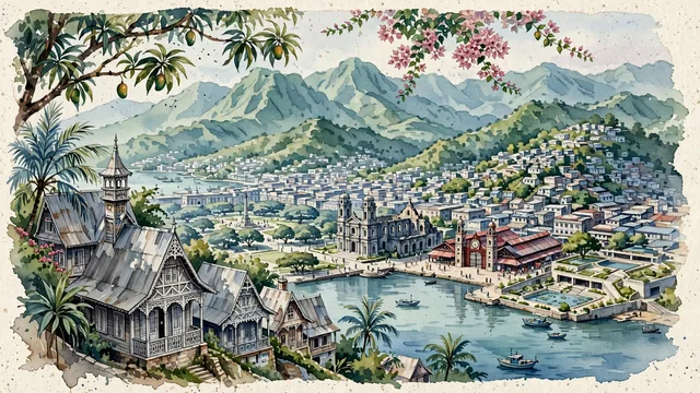
What guided this image
- Landmarks
- Champs de Mars; Cathédrale Notre-Dame; National Pantheon Museum; Iron Market; Chaîne de la Selle; tropical vegetation; Caribbean
- Viewpoint
- Favor an elevated viewpoint overlooking the city from the lower slopes of Pacot or Pétion-Ville looking down toward the bay, showing gingerbread turrets nestled in greenery in the foreground, the urban fabric spreading across the plain, and the deep blue-green mountains framing the background.
- Palette
- Green should be the predominant color, especially in the towering mountain slopes of the Chaîne de la Selle, garden estates of Pacot, and mature park trees.
- Guarded against
- Not a generic Caribbean town
Population1,234,742Wikidata: 987,310
Coordinates18.54°N, 72.34°W
Elevation98 m
Area36,040,000 km²
Time zoneAmerica/Port-au-PrinceUTC−5
Solar noon11:49clock runs 0.2 h behind the sun
Through the Earth
Dig straight through the Earth from Port-au-Prince and you surface in open ocean, nearest to North West Cape, Australia — 764 km from the exact antipodal point.
Nearest cities in the atlas
| Santiago de los Caballeros | DO | 201 km |
| Santo Domingo | DO | 258 km |
| Kingston | JM | 474 km |
| Barranquilla | CO | 882 km |
| Maracaibo | VE | 882 km |
| Nassau | BS | 890 km |
| Barquisimeto | VE | 996 km |
| Basseterre | KN | 1,027 km |
Twinned cities
- Montevideo UY
- Montréal CA
2 of 5 twinned cities are in this atlas. See the full network →