
City
Santo Domingo
Capital of Dominican Republic
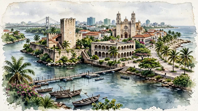
What guided this image
- Landmarks
- Catedral Primada de América; Plaza de España and the Ozama River; Fortaleza Ozama; Malecón; Ozama River; Ciudad Colonial; Gazcue and Piantini; lush tropical flora
- Viewpoint
- Favor an elevated coastal viewpoint looking from across the Ozama River (such as from near Sans Souci or the eastern riverbank) toward the Ciudad Colonial, showing the river and boats in the foreground, Alcázar de Colón and Fortaleza Ozama in the middle-ground, and the cathedral towers rising above terracotta roofs against the coastal sky.
- Palette
- Green should be the predominant color, especially in the tropical palms along the Malecón, Parque Colón trees, and Ozama riverbanks.
- Guarded against
- Not a generic Caribbean resort enclave
Population2,201,941Wikidata: 1,484,789
Coordinates18.47°N, 69.89°W
Elevation14 m
Area1,302 km²
Time zoneAmerica/Santo_DomingoUTC−4
Solar noon12:40clock runs 0.7 h ahead of the sun
Through the Earth
Dig straight through the Earth from Santo Domingo and you surface in open ocean, nearest to North West Cape, Australia — 562 km from the exact antipodal point.
Nearest cities in the atlas
| Santiago de los Caballeros | DO | 138 km |
| Port-au-Prince | HT | 258 km |
| Kingston | JM | 731 km |
| Basseterre | KN | 770 km |
| Saint John’s | AG | 865 km |
| Maracaibo | VE | 890 km |
| Barquisimeto | VE | 937 km |
| Caracas | VE | 945 km |
Twinned cities
- Asunción PY
- Barcelona ES
- Barranquilla CO
- Beijing CN
- Berlin DE
- Bern CH
- Buenos Aires AR
- Caracas VE
- Curitiba BR
- Guatemala City GT
- Havana CU
- La Paz BO
- Lima PE
- Lisbon PT
- London GB
- Madrid ES
- Managua NI
- Manaus BR
- Mexico City MX
- Milan IT
- Montevideo UY
- New York City US
- Quito EC
- Rabat MA
- Rio de Janeiro BR
- San José CR
- San Salvador SV
- Santiago CL
- Taipei TW
29 of 40 twinned cities are in this atlas. See the full network →
This city sits on
- Dominican Republiccountry
- 18Nparallel
- UTC−4offset