
City
Manaus
Brazil
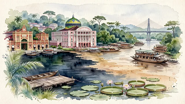
What guided this image
- Landmarks
- Teatro Amazonas; Meeting of the Waters; Mercado Municipal Adolpho Lisboa; Port of Manaus; Rio Negro Bridge; lush primary Amazonian rainforest flora; Amazon
- Viewpoint
- Favor the classic viewpoint looking across the landscape toward the signature landmarks of Manaus, showing regional foliage and foreground textures, the iconic architectural monuments in the middle-ground, and the distant horizon fading in the background.
- Palette
- Green should be the predominant color, especially in giant Amazon rainforest trees, açaí palms, and floating water lilies.
Population2,219,580Wikidata: 2,182,763
Coordinates3.10°S, 60.02°W
Elevation92 m
Area11,401 km²
Time zoneAmerica/ManausUTC−4
Solar noon12:00clock runs 0.0 h ahead of the sun
Through the Earth
Dig straight through the Earth from Manaus and you surface nearest to Ligayan, Philippines — 181 km from the exact antipodal point.
Nearest cities in the atlas
| Georgetown | GY | 1,120 km |
| Paramaribo | SR | 1,134 km |
| Belém | BR | 1,293 km |
| Port of Spain | TT | 1,540 km |
| Santa Cruz de la Sierra | BO | 1,669 km |
| Caracas | VE | 1,691 km |
| Saint George's | GD | 1,695 km |
| Valencia | VE | 1,719 km |
Twinned cities
- Belém BR
- Goiânia BR
- Rio de Janeiro BR
- Santo Domingo DO
4 of 11 twinned cities are in this atlas. See the full network →