
City
Paramaribo
Capital of Suriname
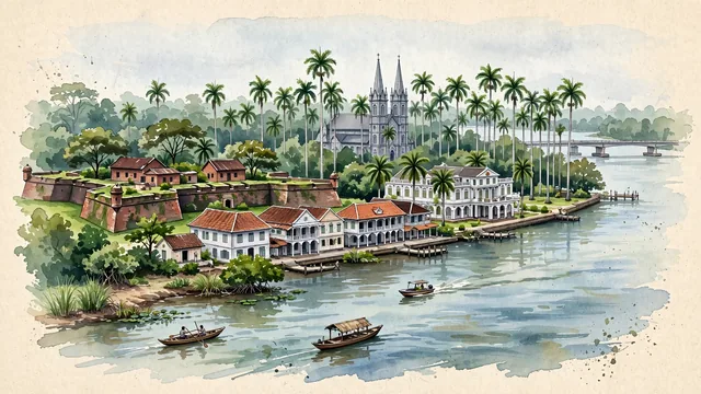
What guided this image
- Landmarks
- Waterkant; Fort Zeelandia; Saint Peter and Paul Cathedral; Jules Wijdenbosch Bridge; Presidential Palace of Suriname; Palmentuin; Dutch-influenced; Suriname River
- Viewpoint
- Favor an elevated viewpoint along or across the Suriname River looking toward the Waterkant and Fort Zeelandia, showing the river in the foreground, the historic white wooden merchant mansions lining the bank, and the towering spire of Saint Peter and Paul Cathedral rising above the palm canopies.
- Palette
- Green should be the predominant color, especially in the towering royal palms of the Palmentuin, mahogany trees along the Waterkant, and riverbank vegetation.
- Guarded against
- Not a generic Caribbean or South American city
Population223,757Wikidata: 240,000
Coordinates5.87°N, 55.17°W
Elevation3 m
Area182 km²
Time zoneAmerica/ParamariboUTC−3
Solar noon12:41clock runs 0.7 h ahead of the sun
Through the Earth
Dig straight through the Earth from Paramaribo and you surface nearest to Wanci, Indonesia — 155 km from the exact antipodal point.
Nearest cities in the atlas
| Georgetown | GY | 346 km |
| Port of Spain | TT | 879 km |
| Bridgetown | BB | 941 km |
| Saint George's | GD | 997 km |
| Kingstown | VC | 1,048 km |
| Belém | BR | 1,101 km |
| Castries | LC | 1,107 km |
| Manaus | BR | 1,134 km |
Twinned cities
- Hangzhou CN
1 of 4 twinned cities are in this atlas. See the full network →