
City
Valencia
Venezuela
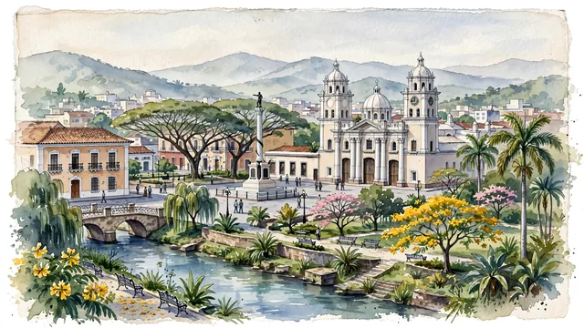
What guided this image
- Landmarks
- Basilica Cathedral of Our Lady of the Relief; José Antonio Páez; Parque Fernando Peñalver; Municipal Theater of Valencia; colonial architecture; Venezuelan central valley flora; Venezuelan
- Viewpoint
- Favor the classic viewpoint looking across the landscape toward the signature landmarks of Valencia, showing regional foliage and foreground textures, the iconic architectural monuments in the middle-ground, and the distant horizon fading in the background.
- Palette
- Green should be the predominant color, especially in giant samán (rain) trees, flowering yellow araguaney, and royal palms shading Plaza Bolívar.
Population1,619,470Wikidata: 1,696,662
Coordinates10.16°N, 68.00°W
Elevation520 m
Area119 km²
Time zoneAmerica/CaracasUTC−4
Solar noon12:32clock runs 0.5 h ahead of the sun
Through the Earth
Dig straight through the Earth from Valencia and you surface nearest to Tambakrejo, Indonesia — 206 km from the exact antipodal point.
Nearest cities in the atlas
| Caracas | VE | 128 km |
| Barquisimeto | VE | 149 km |
| Maracaibo | VE | 398 km |
| Port of Spain | TT | 711 km |
| Saint George's | GD | 714 km |
| Barranquilla | CO | 747 km |
| Kingstown | VC | 809 km |
| Castries | LC | 872 km |
Twinned cities
- Monterrey MX
1 of 4 twinned cities are in this atlas. See the full network →