
City
Los Angeles
United States
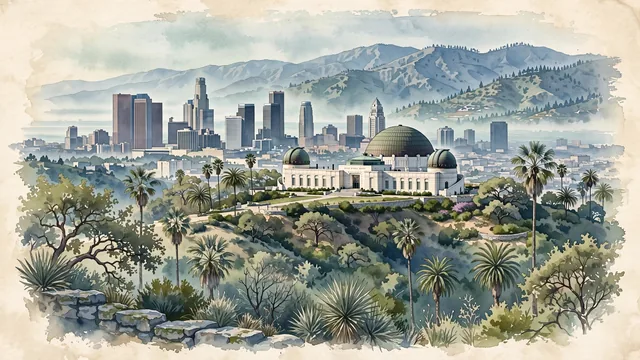
What guided this image
- Landmarks
- Griffith Observatory; Los Angeles City Hall; San Gabriel Mountain Range; Hollywood Sign; Mexican; Griffith Park; lush Southern California Mediterranean and chaparral flora
- Viewpoint
- Favor the classic viewpoint looking across the hillside toward Griffith Observatory with the downtown skyline and rolling mountains in the background, showing chaparral shrubs and stone paths in the foreground, the white observatory with its copper domes in the middle-ground, and the vast basin and San Gabriel Mountains fading in the background.
- Palette
- Green should be the predominant color, especially in the thick chaparral covering Mount Hollywood, Griffith Park live oaks, and fan palm crowns.
- Guarded against
- Not San Francisco, San Diego, or Phoenix
Population3,820,914Wikidata: 3,976,322
Coordinates34.05°N, 118.24°W
Elevation106 m
Area1,302 km²
Time zoneAmerica/Los_AngelesUTC−8
Solar noon11:53clock runs 0.1 h behind the sun
Through the Earth
Dig straight through the Earth from Los Angeles and you surface in open ocean, nearest to Saint-Philippe, Réunion — 1,528 km from the exact antipodal point.
Nearest cities in the atlas
| San Diego | US | 179 km |
| Tijuana | MX | 207 km |
| Mexicali | MX | 303 km |
| Phoenix | US | 574 km |
| Ciudad Juárez | MX | 1,129 km |
| Calgary | CA | 1,920 km |
| San Antonio | US | 1,934 km |
| Fort Worth | US | 1,944 km |
Twinned cities
- Athens GR
- Auckland NZ
- Beirut LB
- Berlin DE
- Busan KR
- Dubai AE
- Giza EG
- Guangzhou CN
- Jakarta ID
- London GB
- Lusaka ZM
- Manila PH
- Mexico City MX
- Montréal CA
- Mumbai IN
- Nagoya JP
- Podgorica ME
- Saint Petersburg RU
- Salvador BR
- Taipei TW
- Tehran IR
- Tijuana MX
- Yerevan AM
23 of 36 twinned cities are in this atlas. See the full network →
This city sits on
- United Statescountry
- 34Nparallel
- UTC−8offset