
City
San Antonio
United States
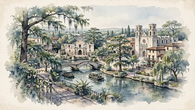
What guided this image
- Landmarks
- Alamo; San Antonio River Walk; San Fernando Cathedral; San Antonio Missions National Historical Park; Villita; Texas Hill Country flora; Tejano
- Viewpoint
- Favor the classic viewpoint looking across the landscape toward the signature landmarks of San Antonio, showing regional foliage and foreground textures, the iconic architectural monuments in the middle-ground, and the distant horizon fading in the background.
- Palette
- Green should be the predominant color, especially in towering bald cypress trees lining the River Walk, live oaks, and flowering bougainvillea.
Population1,526,656Wikidata: 1,436,697
Coordinates29.42°N, 98.49°W
Elevation198 m
Area1,209 km²
Time zoneAmerica/ChicagoUTC−6
Solar noon12:34clock runs 0.6 h ahead of the sun
Through the Earth
Dig straight through the Earth from San Antonio and you surface in open ocean, nearest to Port Mathurin, Mauritius — 2,122 km from the exact antipodal point.
Nearest cities in the atlas
| Houston | US | 305 km |
| Fort Worth | US | 385 km |
| Dallas | US | 406 km |
| Monterrey | MX | 453 km |
| Ciudad Juárez | MX | 805 km |
| León de los Aldama | MX | 977 km |
| Santiago de Querétaro | MX | 1,000 km |
| Zapopan | MX | 1,086 km |
Twinned cities
7 of 12 twinned cities are in this atlas. See the full network →
This city sits on
- United Statescountry
- 29Nparallel
- UTC−6offset