
City
Jamshedpur
India
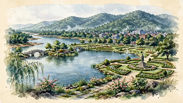
What guided this image
- Landmarks
- Jamsetji Nusserwanji Tata; Jayanti Sarovar; Dimna Lake; Circuit House Area and Northern Town; Dalma Mountain Range; lush Chota Nagpur Plateau flora; Jamsetji Tata's
- Viewpoint
- Favor the classic viewpoint looking across the calm waters of Jayanti Sarovar in Jubilee Park or Dimna Lake toward the Dalma Hills, showing weeping willow fronds and rose gardens in the foreground, the calm lake waters, arched footbridge, and park trees in the middle-ground, and the dramatic, forested mountain ridge of Dalma rising in the background.
- Palette
- Green should be the predominant color, especially in the dense sal forests of the Dalma Hills, manicured lawns of Jubilee Park, and weeping willows around Jayanti Sarovar.
- Guarded against
- Not Ranchi, Dhanbad, or Rourkela
Population1,339,438Wikidata: 1,558,000
Coordinates22.80°N, 86.19°E
Elevation135 m
Area231 km²
Time zoneAsia/KolkataUTC+5:30
Solar noon11:45clock runs 0.2 h behind the sun
Through the Earth
Dig straight through the Earth from Jamshedpur and you surface in open ocean, nearest to Hanga Roa, Chile — 1,645 km from the exact antipodal point.
Nearest cities in the atlas
| Ranchi | IN | 108 km |
| Dhanbad | IN | 114 km |
| Howrah | IN | 220 km |
| Kolkata | IN | 224 km |
| Patna | IN | 328 km |
| Khulna | BD | 345 km |
| Varanasi | IN | 427 km |
| Dhaka | BD | 443 km |
Twinned cities
Wikidata records no twinned cities for Jamshedpur inside this atlas.